An Interactive Map of Tay Valley Township
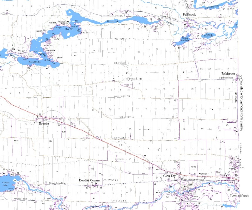
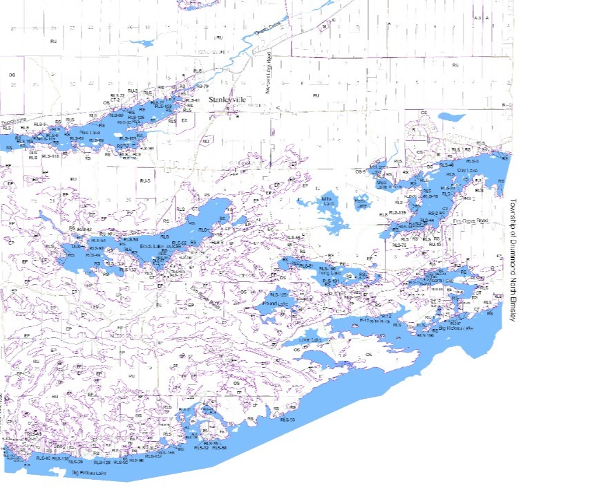
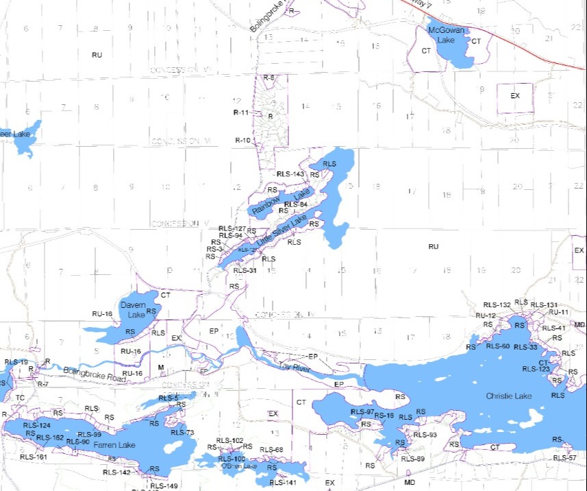
Tay Valley Interactive Map
While researching the 200th anniversary of the European settlement of Tay Valley Township, over 200 historic, cultural or archeological sites or events were mapped along with a short description of the site or event. Residents and tourists can learn more about the Township by visiting the some of the public sites identified on the map. If you have suggestions of places you think are important and want us to add them to the map, please contact the Township.
Perth Military Settlement Map
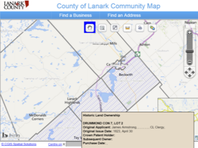
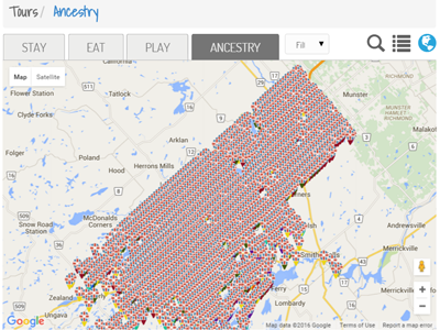
The Perth Military Settlement Map shows the original lot boundaries for Perth, Drummond/North Elmsley, Tay Valley and Beckwith that were granted to European arrivals and disbanded soldiers from the War of 1812, along with various types of land grants (e.g. military, settler, clergy, Crown). The searchable database map also includes information about the original settlers by name, such as where they were from, how many were in their families, and more. These digital maps were created from the original paper maps of the survey done in 1815. Helping to tell the story of the Perth Military Settlement, the maps show the settlement areas of the soldiers and settlers by individual lot and concession, and their stories, complete with links to interviews and photos when available. This treasure trove of information has been made available to the public online for family and historical research, as well as for genealogical tourism.
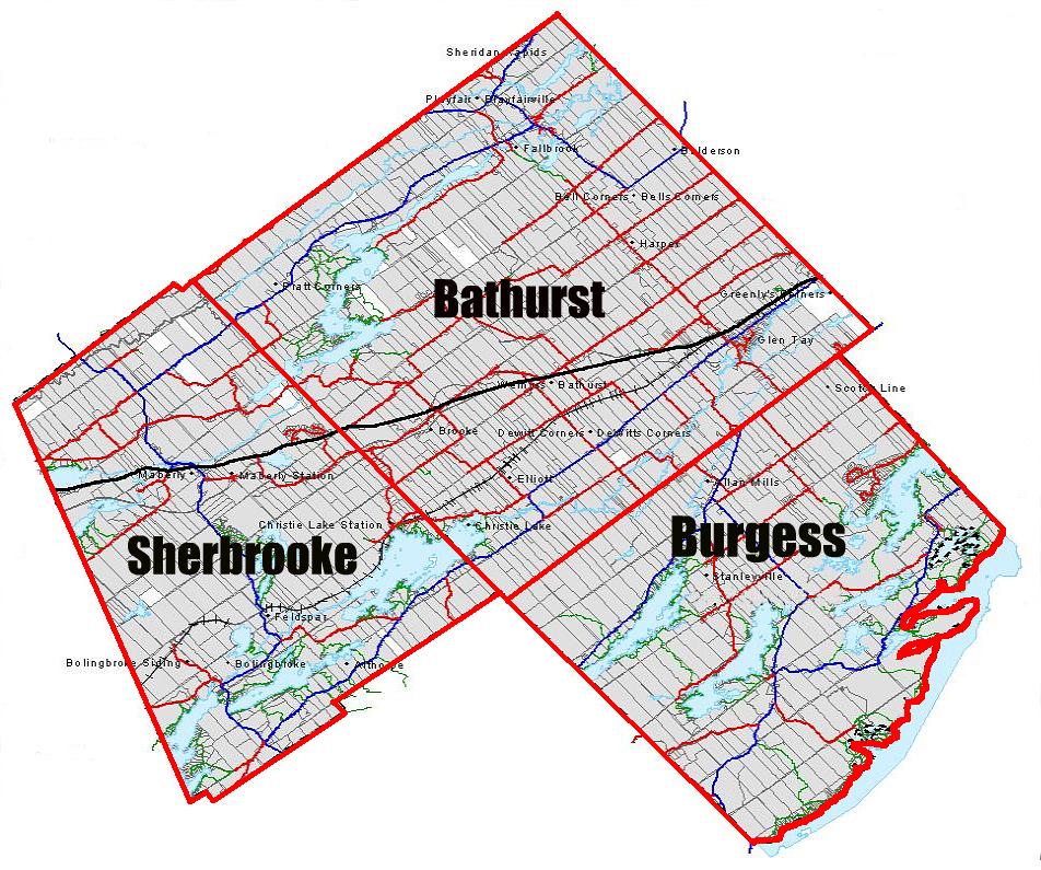
Tay Valley Township - Wards
The Township wards are geographically defined to represent the former Townships of Bathurst, North Burgess, and South Sherbrooke.
